River Athi-Galana-Sabaki

Galana River. Image credit: Trip Advisor
Galana River. Image credit: Trip Advisor
Embakasi, Mbagathi, Athi.
These names denote different locations on the map of Kenya, but all have the same etymology. To fully understand the evolution of these three words, we must tell the story of a river. And to tell the story of this river, we must trace its path back to one of its many sources, for a river is a waterbody that begins as a maze of springs, streams and strings.
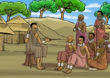
High up on Ngong Hills is a small spring, one of seemingly little consequence. As this spring widens into a river, it traverses a region characterized by an abundance of acacia trees. They dot the terrain and cluster along the banks of this river, soaking up the water it provides. Many years ago, this place was inhabited by the Maasai who grazed their cattle along the banks and rested under the shade of said trees. Em-pakasi oo lera, the Maa people named the waterbody, to mean “the acacia lined river.” Over time, a small settlement was established some distance away but since the river was the most distinct landmark of the place, the name Empakasi was carried on, slightly morphing to become Embakasi. As for the river, new communities settled along its banks over time and corrupted the Maa name to Mbagathi, the name we know it by today.
From the hills, the Mbagathi River flows through Oloolua Forest and past Ongata Rongai to form the southern boarder of the Nairobi National Park. A few kilometers beyond the park, Mbagathi converges with another river and takes on another name, one that is a further corruption of its source name: Athi. Having travelled a great distance from the small spring from which it begins, this zone marks a new journey for the river. In addition to the name change, there is a variance in the river’s course from its southward flow to a north east direction. This shift is due to the presence of Lukenya Hills near this confluence.
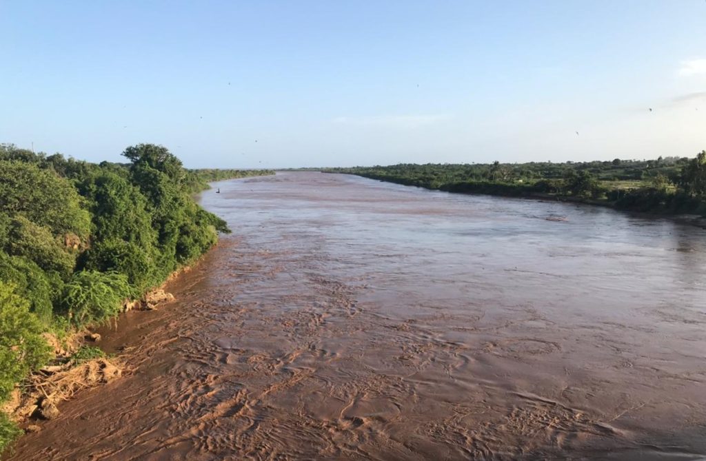
Athi River, having now taken on its full form, moves swiftly through the land, flowing around Mount Kilimambogo and through the region once known as Ukambani. As Athi River slashes a lively gash across these dusty plains, it confluences with the Tsavo River and once more sheds its identity. Beyond this convergence point, the river emerges with two names – Galana and Sabaki.
The meaning of the name Galana largely remains a mystery, but the name Sabaki is inspired by the collective word used to refer to the communities that traditionally inhabited the region between the river confluence and the coast. These are the Swahili, Pokomo, Elwana, and Mijikenda. From its genesis point 390 kilometres away, Galana-Sabaki River finally concludes it journey in Malindi where it drains its water into the Indian Ocean. This winding distance through the country is the reason it is credited as Kenya’s second longest river.
Do you know any other names that this river goes by? Maybe even the meaning of the name Galana? Share the stories you might have heard about the Athi-Galana-Sabaki River!

Mbagathi River at Oloolua Nature Trail. Image credit: James Wahome

Athi River passing through Athi River town. Image credit: Galimo Askumo
Sabaki River a kilometre away from the Indian Ocean. Image credit: Galimo Askumo

